Orthophotos from drones for calculating the taxable base
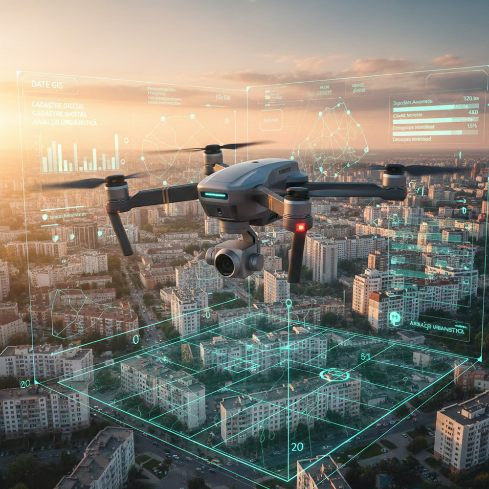
We digitize the future of urban planning by providing high-resolution orthophotos produced with state-of-the-art professional drones, offering an essential aerial perspective for the accurate documentation of the current condition of land and buildings.
We are your trusted partner in implementing the provisions of Emergency Ordinance (OUG) 7/2026, facilitating the digital inventory process of real estate assets and supporting local authorities in verifying the taxable base through the automatic identification of discrepancies on the ground.
The generated orthophotos enable a detailed analysis of urban density and construction site development, serving as an indispensable tool that significantly reduces the time and costs associated with data collection compared to traditional methods.
All delivered data are integrated in formats compatible with GIS systems, ensuring full interoperability for the intelligent management of localities. By choosing the precision of our drone technology, you ensure fiscal transparency and sustainable urban planning, in full compliance with the new legislative regulations currently in force.


Want to set up a meeting?
We are only a call away from a discussion at one of our offices, your headquarters or even in the field.
- 0742 284 120